Geodata

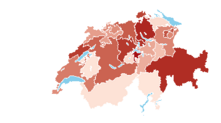
Publication platforms (geoportals) of the cantons for geoinformation in the form of geodata, geoservices, maps and specialized applications are provided by KGK (Conference of Cantonal Geoinformation and Cadastral Offices). The members of the KGK are GIS managers or heads of GIS or geodata coordination offices of the cantons or administrations.
Via geodienste.ch, the intercantonal portal for the procurement of geodata and services, geodata under the responsibility of the cantons and municipalities are aggregated and made available.
Letzte Änderung: 13.01.2022